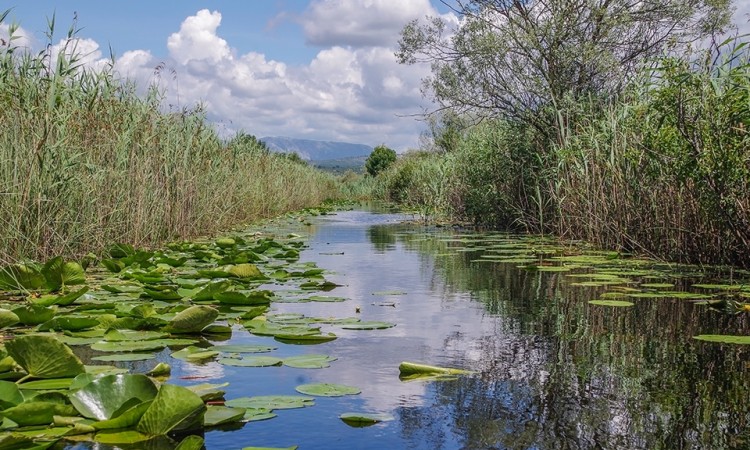
Blidinje Lake is the largest mountain lake in BiH. It is protected geomorphological monument in the Nature Park Blidinje.
Blidinje Lake is an artificial lake made by humans 140 years ago, and thesis about the glacial origin of the lake can be completely rejected. That is a conclusion of extensive research by Ph.D. Denis Rados, a scientist from the University of Zadar, which was published in the latest issue of scientific journal Geoadria (Vol. 22, No. 1), under the title “A history of occurrence of Blidinje lake”.
Even though the year of formation of the lake is not precisely mentioned in any of the sources, it was possible to reconstruct that formation period was between 1881 and 1885. Until then Blidinje (field) was ordinarily flooded during spring each year after snow melting, and water would flow into ponors near Ivan Dolac.
Due to a great need for water, people decided to clog the ponors and create a puddle that would retain the water during summer. But, due to shallow field depression, water spilled over a much larger area and flooded arable land where potatoes were grown. Local residents who lived on Blidinje always claimed that lake was created by people, but it appears that scientific verification was missing.The research was divided into three main chapters through which occurrence of the lake was analyzed in details: popular tales and written sources, old maps and geomorphology.
Writers who were passing through Blidinje or wrote about it in first half of 20th century, often mention the popular tale that this lake was created by clogging ponor, and Djordje Protic recorded existence of stone dam that was holding lake water not to flow into ponor, which is the only written trace of existence of such dam in Blidinje until today’s dam was constructed in 1990.
The last map where Blidinje is shown without the lake is from 1880. The first representation of lake originates from Austrian topographic map 1:75.000, which was made on the basis of geodetic measurement of BiH in the period from 1880 until 1884. Then mapped lake was 5 times smaller than today’s and it was located next to eastern edge of the field underneath Jelinik, that is Eastern from the road that used to pass through the middle of the field, from Barzonja to Dugo field, and which is today flooded with a lake.
(Source: fokus.ba)


